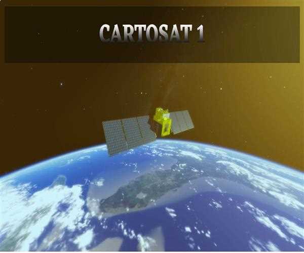
CARTOSAT-1; is the First Indian Cartographic Satellite
CARTOSAT-1 or formerly known as
(IRS-25) is the satellite used for the
cartographic work
for the development of India. This satellite is the series of the experimental program of the DOS(Department of space). it was built, launched, and monitored by the
Indian space research organization(ISRO), the space authority for Indian programs.
the weight of this satellite was 1560 kg. The main application of this satellite was to monitor the
geographical structure and create the mapping of the area or in short, the cartography section of India was covered by the Cartosat-1.
This was launched on 5 may 2005 from the newly built second launch pad at the Sriharikota. It was launched by
PSLV-C6, at,44.00 UTC. It can provide data up to scales ranging from 1.1 million to 1:12,500 scale. This was designed in such a way that it can cover all over the globe. and it can cover the entire globe in 1867 orbit, 126 days of the cycle. the separation path of the adjacent circle is covered in 7 days.
Some of the specifications of this satellite are as follows
1- PAYLOAD - This Satellite contains two PANCHROMATIC
cameras which can cover these high resolutions up to 30km. and their spatial resolution is 2.5 meters can take both black and white pictures of the visible reasons of the earth in the visible region of the electromagnetic spectrum. this can acquire two images simultaneously in which the forward-looking at +26 degree and the backward is -5 degree
2- COMMUNICATION - The images covered by the satellite are compressed, encrypted, formatted, and transmitted to the ground. the acquisition, transfer, pressing of data relayed by the cartosat-1all these activities are handled by the National remote sensing centers(NRSC). the images which are stored by the satellite only can be transmitted when the satellite comes with the visibility zone of the ground station.
3-OPTICS AND DETECTORS - This contains
3 mirrors of the axis. and all
reflective telescopes with primary, secondary, and territory mirrors. these mirrors are made by the special Zero dos glass blanks which are so light weighted about 60%. the accuracy of the image formed by this is 1/80 and coated with aluminum oxide for high resolution and swath requirement. in the Cartosat-1 the
charged coupled device(CCD) is used as a detector acquisition.