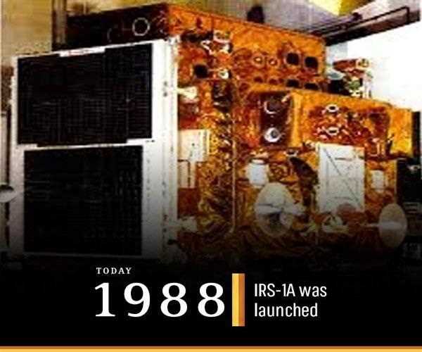
IRS - 1A is the first Indian remote sensing satellite
The IRS -1A was the first in his series of indigenous states of Art operating the
remote sensing satellites. This launch of this satellite became the proudest moment for the people of India due to its unavailability in the Nation. As it was launched on March 17, 1988, from the launch station of
Soviet Cosmodrome at Baikonur.
The IRS-1A was launched
in the
polar Sun-synchronous orbit. For the benefit of Indian developments in the field of natural resources, research knowledge in climate change. It also depicted the capability of India to manage the natural resources of India. It has two
LISS which have a great power of resolution and clear mapping of the earth pictures which can be used to depict the future of any calamity. The LISS 1 has a
spatial resolution of 72.5 meters with
a swath of 148 km on the ground and the
LISS II has a spatial resolution of 32.25v meters swath of 146.98 km. With the availability of these LISS, I and LISS II in the IRS -1A, India got enabled to map, monitor, and manage its natural resources and medium spatial resolution. Availability of data products to the user organization which was in the operational form
strengthened the operationalization and remote sensing application, and managing capability of the nation.
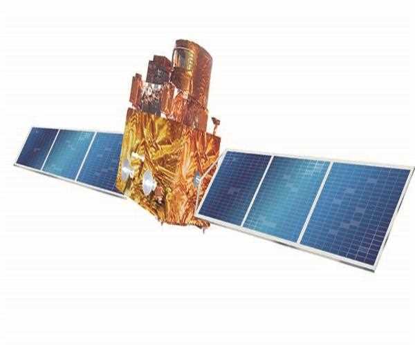
The IRS – 1 was just followed by the other satellite of this type, the name of that pone was the IRS-1B this was the identical satellite, launched in 1991. Both these satellites provided an 11 days repetition. And these two satellites are known to be the workhorse for generating the natural resources information in the various fields or the areas of unknown capabilities. Some of these are agriculture, forestry, geology, and hydrology, technology, mapping, national interest, national security, etc.
After the launch of these two satellites, a series of spacecraft were launched by the IRS in fact they had a greatly
enhance capability in the Pay Load and satellite platform. And the whole activity of receiving data, information even the user’s requirements and the utilization of data,
was
monitored by the national natural resources management system (NNRMS).