0
What is the Indian Navigation System and which organization it has created ?
1 Answer
0
The Indian Navigation System, also known as NavIC (Navigation with Indian Constellation), is an indigenous satellite-based navigation system developed by the Indian Space Research Organisation (ISRO). NavIC consists of a constellation of seven satellites in orbit, providing accurate positioning and timing information to users within India and surrounding regions.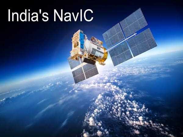
The NavIC system is designed to provide positioning accuracy of up to 5 meters, making it one of the most accurate navigation systems in the world. It is also capable of providing precise timing information, which is critical for a range of applications, including navigation, disaster management, and communication networks.
The development of NavIC was a significant achievement for India, as it made the country self-reliant in the field of navigation technology. Prior to the development of NavIC, India relied on foreign navigation systems such as the GPS (Global Positioning System) developed by the United States.
The NavIC system was developed by ISRO, the primary space agency of the Indian government responsible for the development of space technology and its application to various fields. ISRO was founded in 1969 and has since played a critical role in India's space program, including the development of satellite technology, launch vehicles, and space exploration missions.
The development of NavIC was a collaborative effort between several organizations under the purview of ISRO, including the Space Applications Centre, Indian Space Research Organisation Telemetry, Tracking and Command Network, and the Vikram Sarabhai Space Centre. The development of NavIC involved significant investment in research and development, including the design and manufacture of the satellites, ground stations, and associated software.
NavIC has a range of applications across various fields, including transportation, defense, agriculture, and disaster management. In transportation, NavIC can be used for vehicle tracking, route planning, and monitoring of goods transportation. In defense, NavIC can provide accurate location information for military operations and asset tracking. In agriculture, NavIC can provide precise information on crop yields and soil moisture levels, enabling farmers to make more informed decisions. In disaster management, NavIC can provide timely information on natural disasters such as earthquakes and floods, helping to coordinate relief efforts.
In conclusion, the Indian Navigation System or NavIC is a satellite-based navigation system developed by the Indian Space Research Organisation (ISRO). The system consists of a constellation of seven satellites in orbit, providing accurate positioning and timing information to users within India and surrounding regions. The development of NavIC was a significant achievement for India, as it made the country self-reliant in the field of navigation technology. NavIC has a range of applications across various fields and is a testament to the capabilities of India's space program.