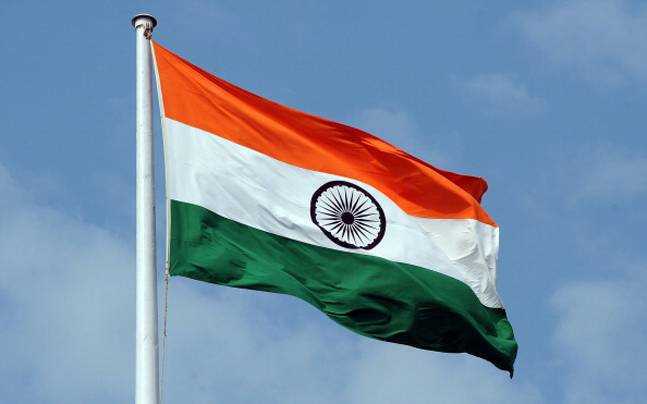
(National Flag of India)
The National Flag was hoisted for the first time in India at Parsee Bagan Square (Green Park) in Calcutta (now Kolkata) on 7th August 1906.
Kolkata (was known as Calcutta) is the capital city of the state of West Bengal. Kolkata is the largest city of the state and the seventh largest city in India. Until 1911 Kolkata (Calcutta) served as the capital of India under the British rule. Later the capital was shifted to New Delhi in 1911.
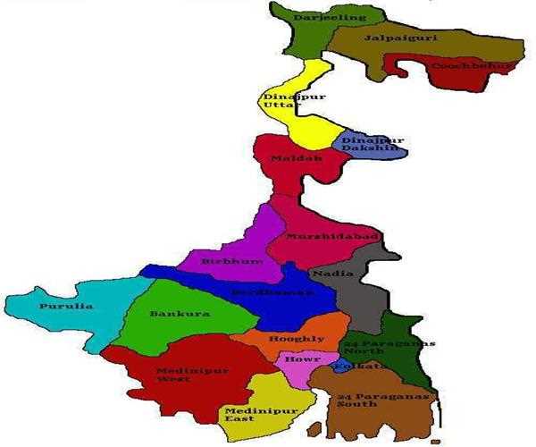
(map of West Bengal)
West Bengal (known as Poshchimbonggo in Bengali) is located in eastern India on the Bay of Bengal. The Indian state of West Bengal shares its borders with the Indian states of Jharkhand, Bihar, Odisha, Sikkim and Assam. West Bengal shares its international borders with Bangladesh to the east and with Nepal and Bhutan to the north. Established on 26th January 1950, the state includes the Ganges delta, the coastal Sundarbans, Rarh region and the most famous Darjeeling Himalayan hill region.
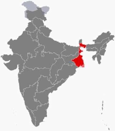
(location of West Bengal on the map of India)
West Bengal covers an area of 88,752 sq km (34,267 sq mi) and is ranked 14th in India in terms of area coverage. As per the 2011 census with a population of 91,347,736 people, West Bengal becomes the fourth most populous state of the country. The density of the state is 1,029/ sq km (2,670/ sq mi). The GDP of the state as of 2018 is ?10.49 lakh crores (US$ 150 billion). The literacy rate of the state is 77.06%. Mamata Banerjee from the All India Trinamool Congress (AITC) is the Chief Minister of the state. There are 295 seats in the Legislative Assembly. Keshari Nath Tripathi is the Governor of the state. Bengali is the official language of the state with Hindi being the additional official language. Nepali is being spoken in two sub-divisions of Darjeeling. Apart from Bengali, English is also the official language of the state.
